| Item Detail |
| |
| |
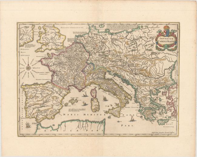
MapMaker: |
Jan Jansson
|
|
| |
| |
Subject: |
Europe |
|
| |
Period/Size: |
1652 / 14.6" x 20.4" (37.1 x 51.9 cm)
|
|
| |
Color: |
Colored
|
|
| |
Condition: |
(A) A nice impression with very wide margins, one small spot along the centerfold, and a few tiny worm holes along the centerfold that are only visible when held to light. (condition help) |
|
| |
Source: |
Accuratissima Orbis Antiqui Delineatio |
|
| |
References: |
Van der Krogt (Vol. I) 1050H:1.2. |
|
| |
|
|
| Sales Information |
| |
| |
Price: |
|
|
| |
| |
Offered by: |
Old World Auctions |
|
| |
Catalog: |
Auction No. 158 - Antique Maps, Charts, Atlases & Globes (9323) |
|
| |
Lot/Item #: |
220 |
|
| |
| |
Date: |
06/2016
|
|
| |
| |
|