| Item Detail |
| |
| |
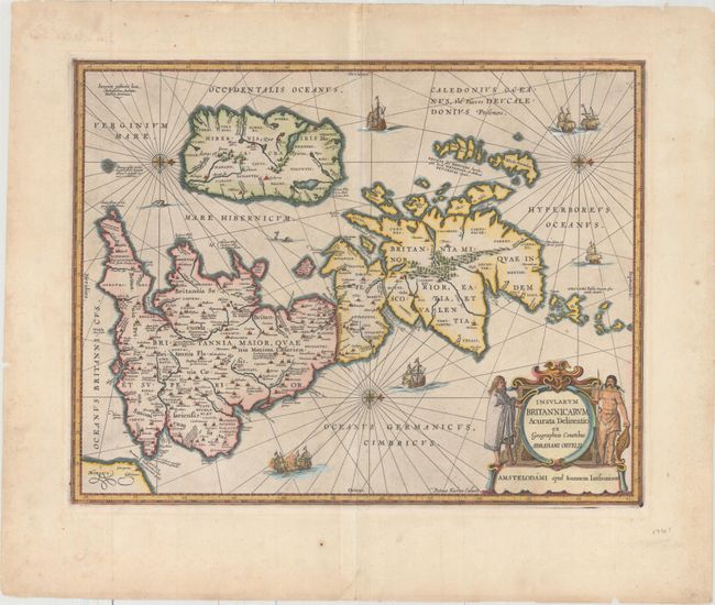
MapMaker: |
Kaerius/Jansson
|
|
| |
| |
Subject: |
Britain |
|
| |
Period/Size: |
1646 / 15.4" x 19.9" (39.2 x 50.6 cm)
|
|
| |
Color: |
Colored
|
|
| |
Condition: |
(A) Excellent impression and color with wide margins, a printer's crease adjacent to centerfold, and very light soiling confined to the blank margins. There are a few minor chips along the edges of the sheet. (condition help) |
|
| |
Source: |
|
|
| |
References: |
Shirley (BI to 1650) #466; Van der Krogt (Vol. I) #5000H:1A; Phillips (A) #3427. |
|
| |
|
|
| Sales Information |
| |
| |
Price: |
|
|
| |
| |
Offered by: |
Old World Auctions |
|
| |
Catalog: |
Auction No. 158 - Antique Maps, Charts, Atlases & Globes (9323) |
|
| |
Lot/Item #: |
225 |
|
| |
| |
Date: |
06/2016
|
|
| |
| |
|