| Item Detail |
| |
| |
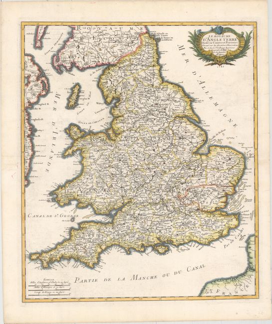
MapMaker: |
George Louis Le Rouge
|
|
| |
| |
Subject: |
England & Wales |
|
| |
Period/Size: |
1745 / 22.6" x 19.1" (57.4 x 48.6 cm)
|
|
| |
Color: |
Colored
|
|
| |
Condition: |
(A) A nice impression on watermarked paper with faint offsetting, a horizontal crease that has been pressed flat, and a few short marginal tears that have been archivally repaired. (condition help) |
|
| |
Source: |
Atlas General |
|
| |
References: |
Shirley (BI to 1750) Le Rouge 2. |
|
| |
|
|
| Sales Information |
| |
| |
Price: |
|
|
| |
| |
Offered by: |
Old World Auctions |
|
| |
Catalog: |
Auction No. 158 - Antique Maps, Charts, Atlases & Globes (9323) |
|
| |
Lot/Item #: |
251 |
|
| |
| |
Date: |
06/2016
|
|
| |
| |
|