| Item Detail |
| |
| |
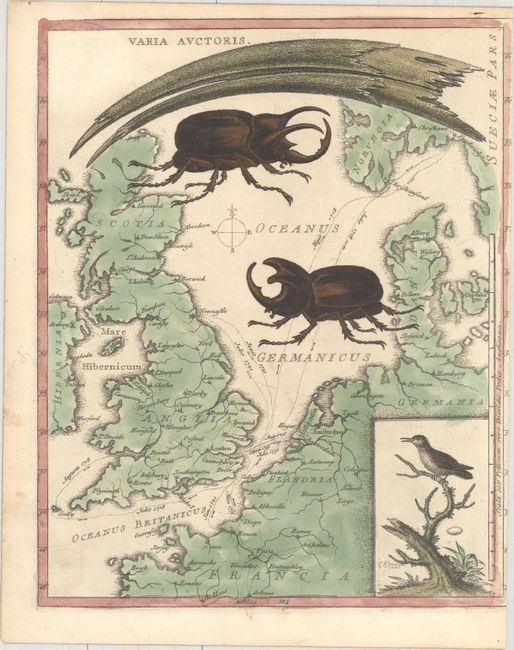
MapMaker: |
George Edwards
|
|
| |
| |
Subject: |
Northern Europe |
|
| |
Period/Size: |
1749 / 10.3" x 8.2" (26.2 x 20.9 cm)
|
|
| |
Color: |
Colored
|
|
| |
Condition: |
(B+) Original color with minor soiling. Trimmed just inside the neatline at right as issued, with some loss of border, evidenced by the binding holes at right. (condition help) |
|
| |
Source: |
|
|
| |
References: |
cf. Shirley (BI to 1750), Edwards 1. |
|
| |
|
|
| Sales Information |
| |
| |
Price: |
|
|
| |
| |
Offered by: |
Old World Auctions |
|
| |
Catalog: |
Auction No. 158 - Antique Maps, Charts, Atlases & Globes (9323) |
|
| |
Lot/Item #: |
261 |
|
| |
| |
Date: |
06/2016
|
|
| |
| |
|