| Item Detail |
| |
| |
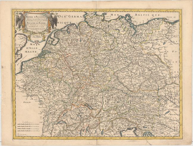
MapMaker: |
Nicolas Sanson
|
|
| |
| |
Subject: |
Central Europe, Germany |
|
| |
Period/Size: |
1665 / 15.9" x 20.6" (40.4 x 52.4 cm)
|
|
| |
Color: |
Colored
|
|
| |
Condition: |
(A) Original outline color with later color in the cartouche. There is minor offsetting, a small spot adjacent to Paris, and a printer's crease at bottom right. (condition help) |
|
| |
Source: |
|
|
| |
References: |
|
|
| |
|
|
| Sales Information |
| |
| |
Price: |
|
|
| |
| |
Offered by: |
Old World Auctions |
|
| |
Catalog: |
Auction No. 158 - Antique Maps, Charts, Atlases & Globes (9323) |
|
| |
Lot/Item #: |
315 |
|
| |
| |
Date: |
06/2016
|
|
| |
| |
|