| Item Detail |
| |
| |
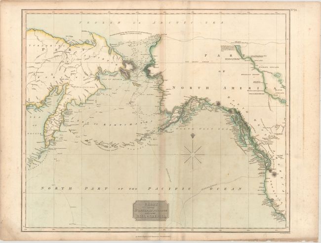
MapMaker: |
John Thomson [& Co.]
|
|
| |
| |
Subject: |
North Pacific Ocean |
|
| |
Period/Size: |
1821 / 19.5" x 23.3" (49.6 x 59.2 cm)
|
|
| |
Color: |
Colored
|
|
| |
Condition: |
(B) Scattered foxing, light toning along the centerfold, and a short centerfold separation at bottom closed on verso with archival material. An extraneous crease is adjacent to the centerfold. (condition help) |
|
| |
Source: |
New General Atlas |
|
| |
References: |
|
|
| |
|
|
| Sales Information |
| |
| |
Price: |
|
|
| |
| |
Offered by: |
Old World Auctions |
|
| |
Catalog: |
Auction No. 158 - Antique Maps, Charts, Atlases & Globes (9323) |
|
| |
Lot/Item #: |
437 |
|
| |
| |
Date: |
06/2016
|
|
| |
| |
|