| Item Detail |
| |
| |
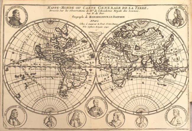
MapMaker: |
Nicolas de Fer
|
|
| |
| |
Subject: |
Geography Books |
|
| |
Period/Size: |
1717 / 7.8" x 5.0" (19.9 x 12.7 cm)
|
|
| |
Color: |
Black & White
|
|
| |
Condition: |
(A) The maps all have dark, crisp impressions, occasional misfolds, and very short binding tears (less than 1"). The map of Europe has a 1.5" binding tear, and the world map has a few faint spots. The text is clean and bright with a light damp stain tha (condition help) |
|
| |
Source: |
|
|
| |
References: |
America - McLaughlin #135; Africa - Norwich #64. |
|
| |
|
|
| Sales Information |
| |
| |
Price: |
|
|
| |
| |
Offered by: |
Old World Auctions |
|
| |
Catalog: |
Auction No. 158 - Antique Maps, Charts, Atlases & Globes (9323) |
|
| |
Lot/Item #: |
442 |
|
| |
| |
Date: |
06/2016
|
|
| |
| |
|