Title:
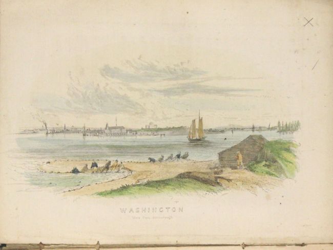
“Picture of Washington and Its Vicinity, for 1850, with Thirty-Eight Engravings: Also, the Washington Guide...”
Map Maker:
Infrequent Publ. - Local Views
This attractive, early, complete guidebook contain... (full text available to subscribers)
| Item Detail |
| |
| |
MapMaker: |
Infrequent Publ. - Local Views
|
|
| |
| |
Subject: |
Books with maps, Washington, D.C. |
|
| |
Period/Size: |
1850 / 5.8" x 4.5" (14.8 x 11.5 cm)
|
|
| |
Color: |
Colored
|
|
| |
Condition: |
(B+) The plates are very good to near fine with occasional minor soiling or light foxing mostly along the sheet edges. The binding is somewhat loose with the upper half of the spine backstrip missing. The hinges are starting and the edges are bumped. (condition help) |
|
| |
Source: |
|
|
| |
References: |
|
|
| |
|
|
| Sales Information |
| |
| |
Price: |
|
|
| |
| |
Offered by: |
Old World Auctions |
|
| |
Catalog: |
Auction No. 159 - Antique Maps, Charts, Atlases & Globes (9324) |
|
| |
Lot/Item #: |
247 |
|
| |
| |
Date: |
09/2016
|
|
| |
| |
|
Antique Maps - Valuation and Pricing, Descriptions, Resources |
|
Home |
Information |
Search |
Register |
Contact Us |
Site Map
Americana Exchange, Inc. © 1999 - 2024 Americana Exchange, Inc.. All rights reserved.
OldMaps.com, the OldMaps.com logo and
AMPR are service marks or registered service marks of Americana Exchange, Inc..
|