| Item Detail |
| |
| |
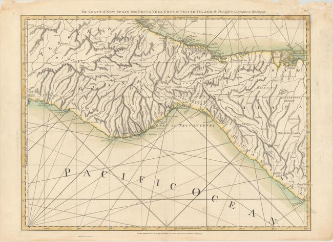
MapMaker: |
Jefferys/Sayer
|
|
| |
| |
Subject: |
Southern Mexico |
|
| |
Period/Size: |
1775 / 18.6" x 25.0" (47.3 x 63.5 cm)
|
|
| |
Color: |
Colored
|
|
| |
Condition: |
(B+) A crisp impression with original color on sturdy, watermarked paper. There is an archivally repaired centerfold separation that enters 1" into image at bottom. There are light damp stains in the top corners of the sheet, just entering the image a b (condition help) |
|
| |
Source: |
The West Indian Atlas |
|
| |
References: |
Shirley (BL Atlases) M.JEF-4a #15. |
|
| |
|
|
| Sales Information |
| |
| |
Price: |
|
|
| |
| |
Offered by: |
Old World Auctions |
|
| |
Catalog: |
Auction No. 159 - Antique Maps, Charts, Atlases & Globes (9324) |
|
| |
Lot/Item #: |
321 |
|
| |
| |
Date: |
09/2016
|
|
| |
| |
|