| Item Detail |
| |
| |
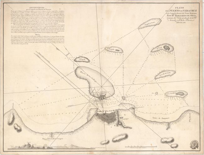
MapMaker: |
Bernardo de la Orta
|
|
| |
| |
Subject: |
Veracruz, Mexico |
|
| |
Period/Size: |
1798 / 17.1" x 22.5" (43.5 x 57.2 cm)
|
|
| |
Color: |
Black & White
|
|
| |
Condition: |
(B) On a sheet with a "SERRA" watermark. There are light damp stains along the right border, light soiling, and an extraneous horizontal crease through the center of the map. (condition help) |
|
| |
Source: |
|
|
| |
References: |
|
|
| |
|
|
| Sales Information |
| |
| |
Price: |
|
|
| |
| |
Offered by: |
Old World Auctions |
|
| |
Catalog: |
Auction No. 159 - Antique Maps, Charts, Atlases & Globes (9324) |
|
| |
Lot/Item #: |
328 |
|
| |
| |
Date: |
09/2016
|
|
| |
| |
|