| Item Detail |
| |
| |
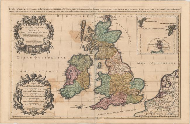
MapMaker: |
Sanson/Jaillot
|
|
| |
| |
Subject: |
Britain |
|
| |
Period/Size: |
1692 / 21.6" x 34.6" (54.9 x 87.9 cm)
|
|
| |
Color: |
Colored
|
|
| |
Condition: |
(B) A dark, crisp impression with full, original color and moderate color offsetting. There is a short centerfold separation at bottom, a small hole in the North Sea, and two chips in bottom blank margin that have been repaired with old paper, with loss (condition help) |
|
| |
Source: |
|
|
| |
References: |
Shirley (BI to 1750) Jaillot 1, Plate 2.2. |
|
| |
|
|
| Sales Information |
| |
| |
Price: |
|
|
| |
| |
Offered by: |
Old World Auctions |
|
| |
Catalog: |
Auction No. 159 - Antique Maps, Charts, Atlases & Globes (9324) |
|
| |
Lot/Item #: |
401 |
|
| |
| |
Date: |
09/2016
|
|
| |
| |
|