| Item Detail |
| |
| |
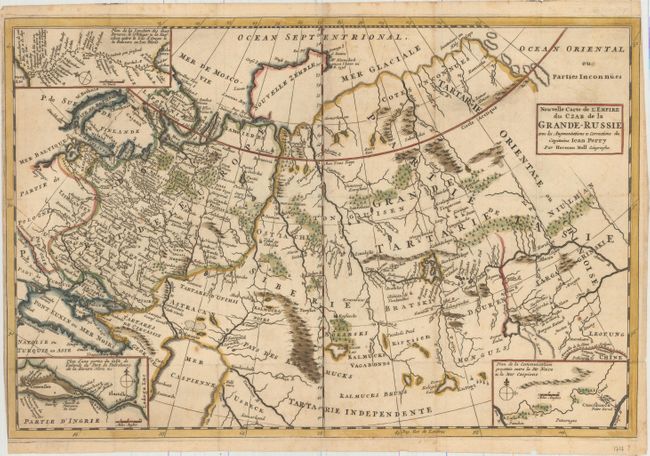
MapMaker: |
Herman Moll
|
|
| |
| |
Subject: |
Russia |
|
| |
Period/Size: |
1717 / 12.6" x 19.1" (32.0 x 48.6 cm)
|
|
| |
Color: |
Colored
|
|
| |
Condition: |
(B+) Issued folding on paper with an "A R" watermark. There is very light toning, a few spots of foxing, a few tiny holes at fold intersections, and a small hole caused by a paper flaw just north of the Caspian Sea. A short fold separation at far let ha (condition help) |
|
| |
Source: |
Etat Present de la Grande-Russie |
|
| |
References: |
|
|
| |
|
|
| Sales Information |
| |
| |
Price: |
|
|
| |
| |
Offered by: |
Old World Auctions |
|
| |
Catalog: |
Auction No. 159 - Antique Maps, Charts, Atlases & Globes (9324) |
|
| |
Lot/Item #: |
511 |
|
| |
| |
Date: |
09/2016
|
|
| |
| |
|