| Item Detail |
| |
| |
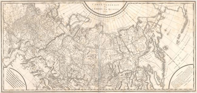
MapMaker: |
Tardieu [Family]
|
|
| |
| |
Subject: |
Russia |
|
| |
Period/Size: |
1787 / 21.9" x 47.0" (55.7 x 119.4 cm)
|
|
| |
Color: |
Black & White
|
|
| |
Condition: |
(B) Issued folding with a few small splits at fold intersections, light scattered foxing, and faint offsetting. There are a few extraneous creases adjacent to the centerfold and the map has been trimmed close to the neatline all around. (condition help) |
|
| |
Source: |
|
|
| |
References: |
|
|
| |
|
|
| Sales Information |
| |
| |
Price: |
|
|
| |
| |
Offered by: |
Old World Auctions |
|
| |
Catalog: |
Auction No. 159 - Antique Maps, Charts, Atlases & Globes (9324) |
|
| |
Lot/Item #: |
514 |
|
| |
| |
Date: |
09/2016
|
|
| |
| |
|