| Item Detail |
| |
| |
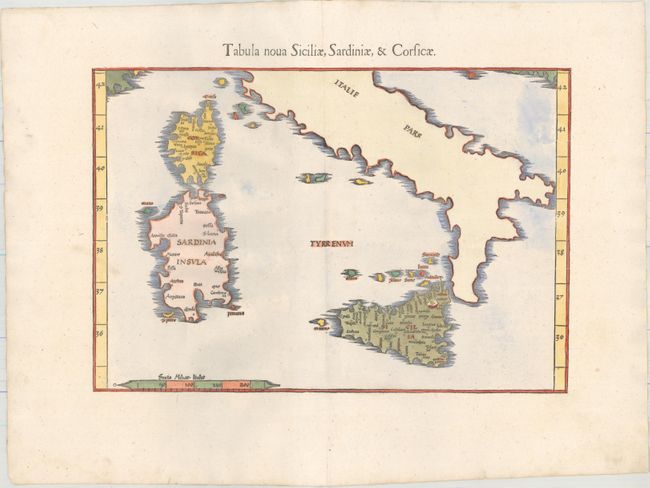
MapMaker: |
Ptolemy/Fries
|
|
| |
| |
Subject: |
Corsica, Sardinia |
|
| |
Period/Size: |
1541 / 10.9" x 15.8" (27.7 x 40.2 cm)
|
|
| |
Color: |
Colored
|
|
| |
Condition: |
(A+) A clean and bright example on paper with a bunch of grapes watermark and professional repairs to two short centerfold separations in the blank margins. (condition help) |
|
| |
Source: |
Claudii Ptolemaei Alexandrini Geographicaeģ |
|
| |
References: |
Mickwitz & Miekkavaara #211-35. |
|
| |
|
|
| Sales Information |
| |
| |
Price: |
|
|
| |
| |
Offered by: |
Old World Auctions |
|
| |
Catalog: |
Auction No. 159 - Antique Maps, Charts, Atlases & Globes (9324) |
|
| |
Lot/Item #: |
570 |
|
| |
| |
Date: |
09/2016
|
|
| |
| |
|