| Item Detail |
| |
| |
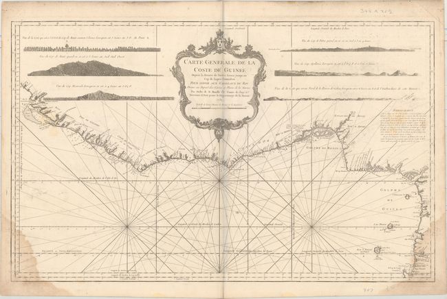
MapMaker: |
Jacques Nicolas Bellin
|
|
| |
| |
Subject: |
Western Africa |
|
| |
Period/Size: |
1750 / 21.6" x 34.9" (54.9 x 88.7 cm)
|
|
| |
Color: |
Black & White
|
|
| |
Condition: |
(B) On a watermarked sheet with some damp stains in bottom corners, light offsetting and soiling, and some manuscript notations in pencil at left. (condition help) |
|
| |
Source: |
Hydrographique Francais |
|
| |
References: |
Phillips (Atlases) #587- v. 2, 5. |
|
| |
|
|
| Sales Information |
| |
| |
Price: |
|
|
| |
| |
Offered by: |
Old World Auctions |
|
| |
Catalog: |
Auction No. 159 - Antique Maps, Charts, Atlases & Globes (9324) |
|
| |
Lot/Item #: |
700 |
|
| |
| |
Date: |
09/2016
|
|
| |
| |
|