Title:
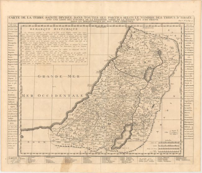
“Carte de la Terre Sainte Divisee dans Toutes ses Parties Selon le Nombre des Tribus d'Israel...”
Map Maker:
Henry Abraham Chatelain
Detailed map of the Holy Land based on the cartogr... (full text available to subscribers)
| Item Detail |
| |
| |
MapMaker: |
Henry Abraham Chatelain
|
|
| |
| |
Subject: |
Holy Land |
|
| |
Period/Size: |
1719 / 15.2" x 19.2" (38.6 x 48.8 cm)
|
|
| |
Color: |
Black & White
|
|
| |
Condition: |
(B+) A dark impression on watermarked paper with a centerfold separation at bottom that extends 1.5" into the image that is closed on verso with archival tape. There are a few faints spots in the image and a small stain in the text below the map image. (condition help) |
|
| |
Source: |
Atlas Historique… |
|
| |
References: |
Laor #213. |
|
| |
|
|
| Sales Information |
| |
| |
Price: |
|
|
| |
| |
Offered by: |
Old World Auctions |
|
| |
Catalog: |
Auction No. 159 - Antique Maps, Charts, Atlases & Globes (9324) |
|
| |
Lot/Item #: |
598 |
|
| |
| |
Date: |
09/2016
|
|
| |
| |
|
Antique Maps - Valuation and Pricing, Descriptions, Resources |
|
Home |
Information |
Search |
Register |
Contact Us |
Site Map
Americana Exchange, Inc. © 1999 - 2024 Americana Exchange, Inc.. All rights reserved.
OldMaps.com, the OldMaps.com logo and
AMPR are service marks or registered service marks of Americana Exchange, Inc..
|