| Item Detail |
| |
| |
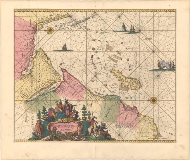
MapMaker: |
Renard/De Wit
|
|
| |
| |
Subject: |
Indian Ocean |
|
| |
Period/Size: |
1715 / 17.5" x 21.3" (44.5 x 54.1 cm)
|
|
| |
Color: |
Colored
|
|
| |
Condition: |
(A) A fine impression in original color with a few minor spots. There is a centerfold separation in the bottom blank margin that has been closed on verso with archival material. (condition help) |
|
| |
Source: |
Atlas de la Navigation et du Commerce |
|
| |
References: |
cf. Norwich #256; Shirley (BL Atlases) M.REN-1a; Tibbetts, G.R. #129. |
|
| |
|
|
| Sales Information |
| |
| |
Price: |
|
|
| |
| |
Offered by: |
Old World Auctions |
|
| |
Catalog: |
Auction No. 159 - Antique Maps, Charts, Atlases & Globes (9324) |
|
| |
Lot/Item #: |
685 |
|
| |
| |
Date: |
09/2016
|
|
| |
| |
|