Title:
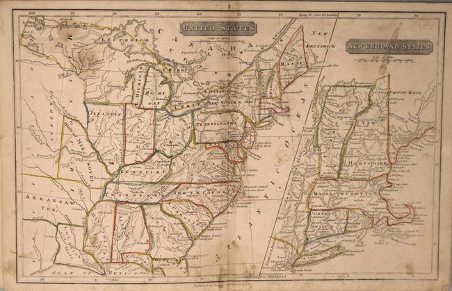
“School Atlas to Adams' Geography. Containing the Following Maps: The World. North-America. United States. New-England. South-America. Europe. England. Asia. Africa”
Map Maker:
Lincoln & Edmands
This uncommon atlas contains six single-page and t... (full text available to subscribers)
| Item Detail |
| |
| |
MapMaker: |
Lincoln & Edmands
|
|
| |
| |
Subject: |
Atlases |
|
| |
Period/Size: |
1820 / 8.5" x 6.8" (21.6 x 17.3 cm)
|
|
| |
Color: |
Colored
|
|
| |
Condition: |
(B+) Maps are very good with original outline color and only light toning and occasional soiling. Both the map of the world and United States have 1.5" separations at bottom that are confined to the blank margins. Covers are surprisingly well preserved (condition help) |
|
| |
Source: |
|
|
| |
References: |
|
|
| |
|
|
| Sales Information |
| |
| |
Price: |
|
|
| |
| |
Offered by: |
Old World Auctions |
|
| |
Catalog: |
Auction No. 159 - Antique Maps, Charts, Atlases & Globes (9324) |
|
| |
Lot/Item #: |
749 |
|
| |
| |
Date: |
09/2016
|
|
| |
| |
|
Antique Maps - Valuation and Pricing, Descriptions, Resources |
|
Home |
Information |
Search |
Register |
Contact Us |
Site Map
Americana Exchange, Inc. © 1999 - 2024 Americana Exchange, Inc.. All rights reserved.
OldMaps.com, the OldMaps.com logo and
AMPR are service marks or registered service marks of Americana Exchange, Inc..
|