| Item Detail |
| |
| |
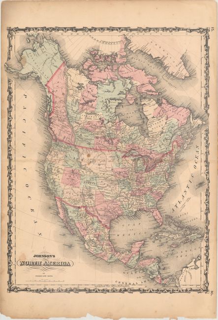
MapMaker: |
Johnson & Ward
|
|
| |
| |
Subject: |
North America, Civil War |
|
| |
Period/Size: |
1862 / 22.1" x 17.2" (56.2 x 43.7 cm)
|
|
| |
Color: |
Colored
|
|
| |
Condition: |
(B) Light toning, staining, and short fold separations that just touch the border at left and right. Several small chips are confined to the bottom edge of the sheet, away from the map image. (condition help) |
|
| |
Source: |
|
|
| |
References: |
|
|
| |
|
|
| Sales Information |
| |
| |
Price: |
|
|
| |
| |
Offered by: |
Old World Auctions |
|
| |
Catalog: |
Auction No. 160 - Antique Maps, Charts, Atlases & Globes (9325) |
|
| |
Lot/Item #: |
111 |
|
| |
| |
Date: |
11/2016
|
|
| |
| |
|