| Item Detail |
| |
| |
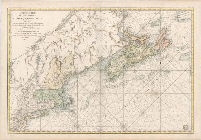
MapMaker: |
Antoine de Sartine
|
|
| |
| |
Subject: |
Colonial Northeastern United States & Canada |
|
| |
Period/Size: |
1780 / 22.9" x 33.8" (58.2 x 85.9 cm)
|
|
| |
Color: |
Colored
|
|
| |
Condition: |
(B+) Nice impression and color on heavy, watermarked paper with very light soiling, a printer's crease in bottom right corner, and a few minor extraneous creases along centerfold. A very nice example of this large map. There is a faint shadow that appea (condition help) |
|
| |
Source: |
Neptune Americo-Septentrional |
|
| |
References: |
McCorkle #780.3; Kershaw #754; Sellers & Van Ee #216. |
|
| |
|
|
| Sales Information |
| |
| |
Price: |
|
|
| |
| |
Offered by: |
Old World Auctions |
|
| |
Catalog: |
Auction No. 160 - Antique Maps, Charts, Atlases & Globes (9325) |
|
| |
Lot/Item #: |
140 |
|
| |
| |
Date: |
11/2016
|
|
| |
| |
|