| Item Detail |
| |
| |
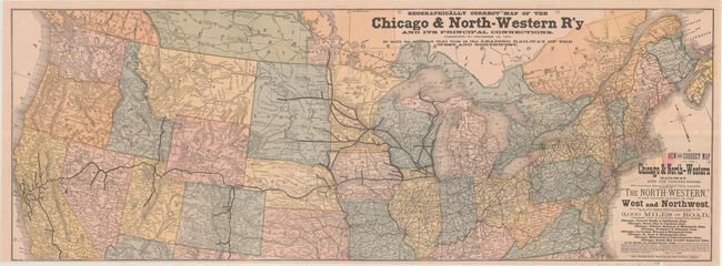
MapMaker: |
Rand, McNally & Co.
|
|
| |
| |
Subject: |
United States |
|
| |
Period/Size: |
1880 / 15.3" x 42.3" (38.9 x 107.5 cm)
|
|
| |
Color: |
Colored
|
|
| |
Condition: |
(B+) The map has a small loss at blank bottom border, some small fold intersection splits and a light pink stain in mostly blank area of title with a ghost stain in one panel to the left. (condition help) |
|
| |
Source: |
|
|
| |
References: |
|
|
| |
|
|
| Sales Information |
| |
| |
Price: |
|
|
| |
| |
Offered by: |
Old World Auctions |
|
| |
Catalog: |
Auction No. 160 - Antique Maps, Charts, Atlases & Globes (9325) |
|
| |
Lot/Item #: |
171 |
|
| |
| |
Date: |
11/2016
|
|
| |
| |
|