| Item Detail |
| |
| |
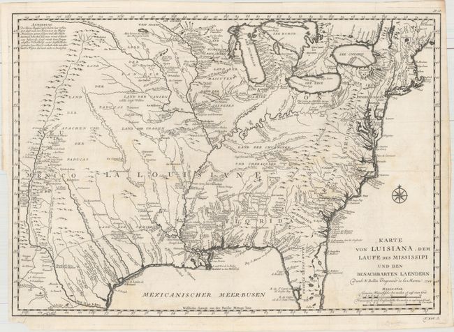
MapMaker: |
Jacques Nicolas Bellin
|
|
| |
| |
Subject: |
Colonial Eastern United States |
|
| |
Period/Size: |
1744 / 15.4" x 21.7" (39.2 x 55.2 cm)
|
|
| |
Color: |
Black & White
|
|
| |
Condition: |
(B+) A fine impression issued folding, now flat, on a watermarked sheet with three tears adjacent to the horizontal fold ranging in size from 1"-1.5" that have been repaired on verso with archival material. There are a few faint stains and a closed short (condition help) |
|
| |
Source: |
Allegmeine Historie der Reisen zu Wasser und zu Lande |
|
| |
References: |
cf. McCorkle #744-1; cf. Tooley (MCC-96) #703. |
|
| |
|
|
| Sales Information |
| |
| |
Price: |
|
|
| |
| |
Offered by: |
Old World Auctions |
|
| |
Catalog: |
Auction No. 160 - Antique Maps, Charts, Atlases & Globes (9325) |
|
| |
Lot/Item #: |
174 |
|
| |
| |
Date: |
11/2016
|
|
| |
| |
|