| Item Detail |
| |
| |
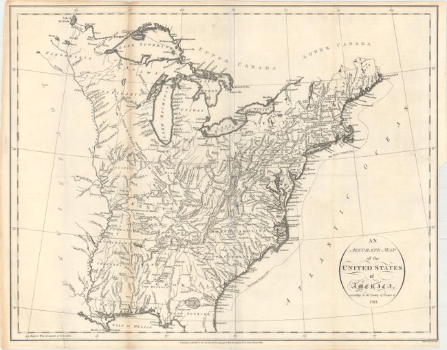
MapMaker: |
John Russell
|
|
| |
| |
Subject: |
Eastern United States |
|
| |
Period/Size: |
1794 / 14.5" x 18.4" (36.9 x 46.8 cm)
|
|
| |
Color: |
Black & White
|
|
| |
Condition: |
(B+) Issued folding with light toning along one fold and two edge tears that enter 1" and 1.25" into the image that have been closed on verso with archival tape. (condition help) |
|
| |
Source: |
An Historical, Geographical, Commercial, and Philosophical View of the American |
|
| |
References: |
McCorkle #794-14; Phillips (A) #1363-4. |
|
| |
|
|
| Sales Information |
| |
| |
Price: |
|
|
| |
| |
Offered by: |
Old World Auctions |
|
| |
Catalog: |
Auction No. 160 - Antique Maps, Charts, Atlases & Globes (9325) |
|
| |
Lot/Item #: |
176 |
|
| |
| |
Date: |
11/2016
|
|
| |
| |
|