| Item Detail |
| |
| |
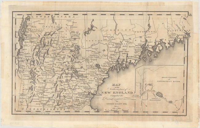
MapMaker: |
George Gillet
|
|
| |
| |
Subject: |
New England - United States |
|
| |
Period/Size: |
1821 / 8.3" x 14.2" (21.1 x 36.1 cm)
|
|
| |
Color: |
Black & White
|
|
| |
Condition: |
(B) Issued folding on watermarked paper and now flattened and backed with tissue. Light toning, a few minor extraneous creases, and a closed fold separation that just touches the neatline at left. (condition help) |
|
| |
Source: |
Travels in New England and New York |
|
| |
References: |
Howes #D612; Phillips (Maps) p. 247. |
|
| |
|
|
| Sales Information |
| |
| |
Price: |
|
|
| |
| |
Offered by: |
Old World Auctions |
|
| |
Catalog: |
Auction No. 160 - Antique Maps, Charts, Atlases & Globes (9325) |
|
| |
Lot/Item #: |
191 |
|
| |
| |
Date: |
11/2016
|
|
| |
| |
|