| Item Detail |
| |
| |
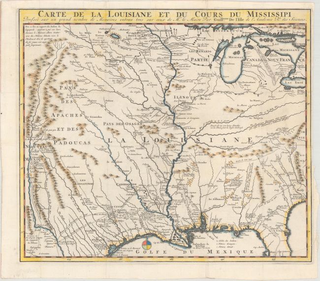
MapMaker: |
Guillaume Delisle
|
|
| |
| |
Subject: |
Colonial Central & Southern United States |
|
| |
Period/Size: |
1734 / 14.0" x 16.1" (35.6 x 40.9 cm)
|
|
| |
Color: |
Colored
|
|
| |
Condition: |
(B+) Issued folding, now flattened on paper with an "LYV" watermark and light extraneous creasing. There are old archival repairs to a tiny tear the center, a short centerfold separation in bottom blank margin, and a tear that enters 1" into image at bot (condition help) |
|
| |
Source: |
Histoire des Incas ģ Histoire de la Conquete de la Floride |
|
| |
References: |
Cumming (SE) #175; Tooley (Amer) p.22, #44; cf. Wheat (TMW) #99; cf. Martin & Martin #19. |
|
| |
|
|
| Sales Information |
| |
| |
Price: |
|
|
| |
| |
Offered by: |
Old World Auctions |
|
| |
Catalog: |
Auction No. 160 - Antique Maps, Charts, Atlases & Globes (9325) |
|
| |
Lot/Item #: |
218 |
|
| |
| |
Date: |
11/2016
|
|
| |
| |
|