| Item Detail |
| |
| |
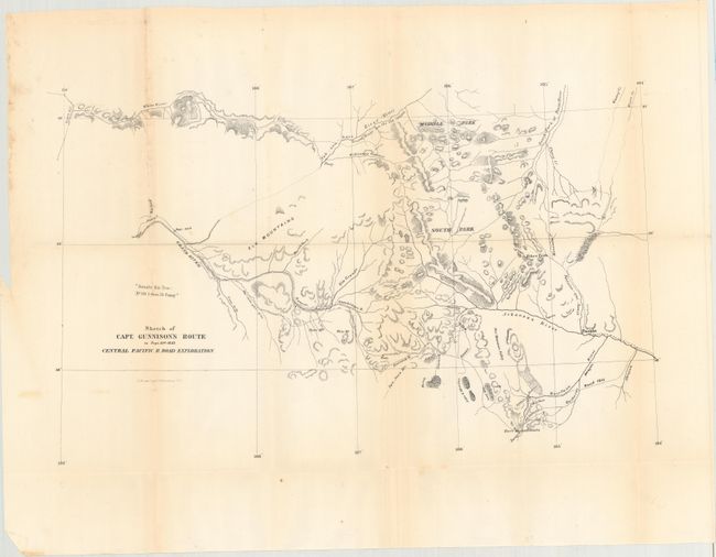
MapMaker: |
U.S. War Department
|
|
| |
| |
Subject: |
Colorado |
|
| |
Period/Size: |
1854 / 12.5" x 20.4" (31.8 x 51.9 cm)
|
|
| |
Color: |
Black & White
|
|
| |
Condition: |
(B+) Issued folding with faint toning along some of the folds, a few spots of foxing, some extraneous creases, and small splits on some of the fold intersections. (condition help) |
|
| |
Source: |
Pacifc Railway Surveys |
|
| |
References: |
|
|
| |
|
|
| Sales Information |
| |
| |
Price: |
|
|
| |
| |
Offered by: |
Old World Auctions |
|
| |
Catalog: |
Auction No. 160 - Antique Maps, Charts, Atlases & Globes (9325) |
|
| |
Lot/Item #: |
253 |
|
| |
| |
Date: |
11/2016
|
|
| |
| |
|