| Item Detail |
| |
| |
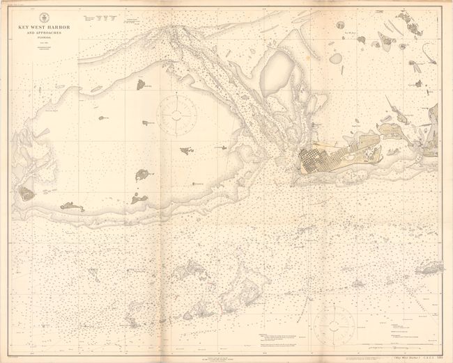
MapMaker: |
U.S. Coast & Geodetic Survey
|
|
| |
| |
Subject: |
Florida |
|
| |
Period/Size: |
1919 / 33.7" x 41.9" (85.6 x 106.5 cm)
|
|
| |
Color: |
Colored
|
|
| |
Condition: |
(B+) Issued folding with faint toning and soiling along the left fold. There are a few additional faint spots and minor pencil notations, but an otherwise clean, attractive example. (condition help) |
|
| |
Source: |
|
|
| |
References: |
|
|
| |
|
|
| Sales Information |
| |
| |
Price: |
|
|
| |
| |
Offered by: |
Old World Auctions |
|
| |
Catalog: |
Auction No. 160 - Antique Maps, Charts, Atlases & Globes (9325) |
|
| |
Lot/Item #: |
267 |
|
| |
| |
Date: |
11/2016
|
|
| |
| |
|