| Item Detail |
| |
| |
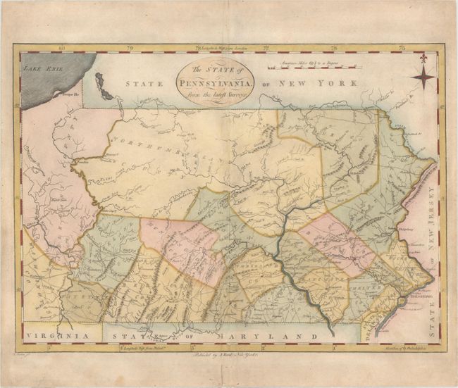
MapMaker: |
John Reid
|
|
| |
| |
Subject: |
Pennsylvania |
|
| |
Period/Size: |
1796 / 12.7" x 17.9" (32.3 x 45.5 cm)
|
|
| |
Color: |
Colored
|
|
| |
Condition: |
(B+) There are a couple small spots, some minor offsetting around the centerfold, a few small abrasions, and some extraneous creases along the centerfold. Remnants of hinge tape on verso. (condition help) |
|
| |
Source: |
The American Atlas |
|
| |
References: |
Wheat & Brun #450. |
|
| |
|
|
| Sales Information |
| |
| |
Price: |
|
|
| |
| |
Offered by: |
Old World Auctions |
|
| |
Catalog: |
Auction No. 160 - Antique Maps, Charts, Atlases & Globes (9325) |
|
| |
Lot/Item #: |
323 |
|
| |
| |
Date: |
11/2016
|
|
| |
| |
|