| Item Detail |
| |
| |
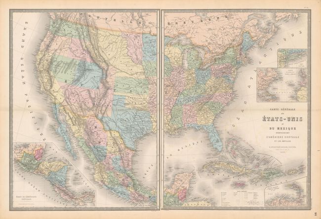
MapMaker: |
Eugene Andriveau-Goujon
|
|
| |
| |
Subject: |
United States & Mexico, Civil War |
|
| |
Period/Size: |
1862 / 24.3" x 18.3" (61.8 x 46.5 cm)
|
|
| |
Color: |
Colored
|
|
| |
Condition: |
(B+) Nice impressions with occasional faint spots of foxing and light toning along sheet edges. The eastern sheet has short fold separations at left and right confined to the blank margins. (condition help) |
|
| |
Source: |
Atlas Universel |
|
| |
References: |
|
|
| |
|
|
| Sales Information |
| |
| |
Price: |
|
|
| |
| |
Offered by: |
Old World Auctions |
|
| |
Catalog: |
Auction No. 160 - Antique Maps, Charts, Atlases & Globes (9325) |
|
| |
Lot/Item #: |
352 |
|
| |
| |
Date: |
11/2016
|
|
| |
| |
|