Title:
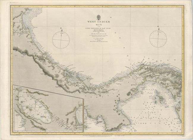
“West Indies Sheet XI from Cayos Ratones to San Juan de Nicaragua Surveyed by Commander E. Barnett”
Map Maker:
British Admiralty
This highly detailed chart depicts the northern co... (full text available to subscribers)
| Item Detail |
| |
| |
MapMaker: |
British Admiralty
|
|
| |
| |
Subject: |
Central America |
|
| |
Period/Size: |
1884 / 18.3" x 24.5" (46.5 x 62.3 cm)
|
|
| |
Color: |
Colored
|
|
| |
Condition: |
(A) A dark impression on sturdy paper with a "Monckton Kent" watermark. There is minor creasing and soiling confined to the blank margins. (condition help) |
|
| |
Source: |
|
|
| |
References: |
|
|
| |
|
|
| Sales Information |
| |
| |
Price: |
|
|
| |
| |
Offered by: |
Old World Auctions |
|
| |
Catalog: |
Auction No. 160 - Antique Maps, Charts, Atlases & Globes (9325) |
|
| |
Lot/Item #: |
367 |
|
| |
| |
Date: |
11/2016
|
|
| |
| |
|
Antique Maps - Valuation and Pricing, Descriptions, Resources |
|
Home |
Information |
Search |
Register |
Contact Us |
Site Map
Americana Exchange, Inc. © 1999 - 2024 Americana Exchange, Inc.. All rights reserved.
OldMaps.com, the OldMaps.com logo and
AMPR are service marks or registered service marks of Americana Exchange, Inc..
|