| Item Detail |
| |
| |
MapMaker: |
Royal Geographical Society
|
|
| |
| |
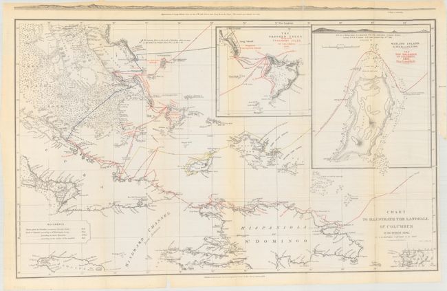
Subject: |
Lucayan Archipelago, Greater Antilles |
|
| |
Period/Size: |
1856 / 16.1" x 24.8" (40.9 x 63.0 cm)
|
|
| |
Color: |
Colored
|
|
| |
Condition: |
(B+) Issued folding with some short fold separations and tiny splits at fold intersections, light toning especially concentrated across the top of the sheet, and hints of offsetting. A short tear at left has been archivally repaired. There is a binding (condition help) |
|
| |
Source: |
Journal of the Royal Geographical Society |
|
| |
References: |
|
|
| |
|
|
| Sales Information |
| |
| |
Price: |
|
|
| |
| |
Offered by: |
Old World Auctions |
|
| |
Catalog: |
Auction No. 160 - Antique Maps, Charts, Atlases & Globes (9325) |
|
| |
Lot/Item #: |
394 |
|
| |
| |
Date: |
11/2016
|
|
| |
| |
|