| Item Detail |
| |
| |
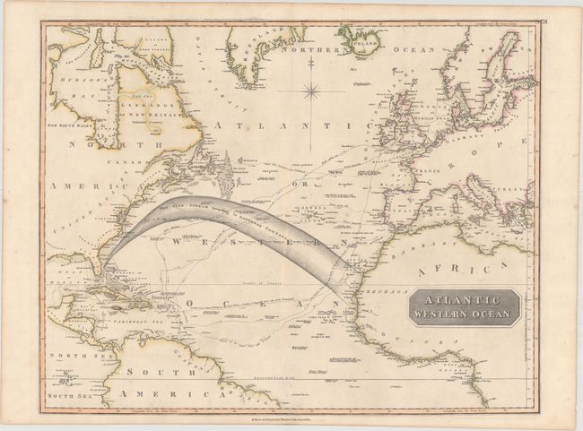
MapMaker: |
John Thomson [& Co.]
|
|
| |
| |
Subject: |
North Atlantic |
|
| |
Period/Size: |
1827 / 19.6" x 24.7" (49.8 x 62.8 cm)
|
|
| |
Color: |
Colored
|
|
| |
Condition: |
(B+) Original outline color on heavy paper with "A. Cowan 1821" watermark. There is one minor spot in the north Atlantic, faint soiling, and a short centerfold separation at bottom repaired on verso with archival material. (condition help) |
|
| |
Source: |
New General Atlas |
|
| |
References: |
|
|
| |
|
|
| Sales Information |
| |
| |
Price: |
|
|
| |
| |
Offered by: |
Old World Auctions |
|
| |
Catalog: |
Auction No. 160 - Antique Maps, Charts, Atlases & Globes (9325) |
|
| |
Lot/Item #: |
455 |
|
| |
| |
Date: |
11/2016
|
|
| |
| |
|