| Item Detail |
| |
| |
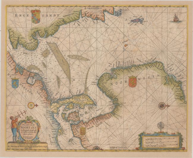
MapMaker: |
Pieter Goos
|
|
| |
| |
Subject: |
North Sea |
|
| |
Period/Size: |
1668 / 17.5" x 21.4" (44.5 x 54.4 cm)
|
|
| |
Color: |
Colored
|
|
| |
Condition: |
(B) The sheet has been fully and professionally remargined with a small portion of the neatline at top and the neatline and a small portion of the cartouches at bottom left and right replaced in facsimile. There is light scattered foxing and soiling, as (condition help) |
|
| |
Source: |
De Zee-Atlas, Ofte Water-Weereld… |
|
| |
References: |
Putnam, Early Sea Charts, pp. 99-100; Tooley (MCC-70) #290. |
|
| |
|
|
| Sales Information |
| |
| |
Price: |
|
|
| |
| |
Offered by: |
Old World Auctions |
|
| |
Catalog: |
Auction No. 160 - Antique Maps, Charts, Atlases & Globes (9325) |
|
| |
Lot/Item #: |
495 |
|
| |
| |
Date: |
11/2016
|
|
| |
| |
|