| Item Detail |
| |
| |
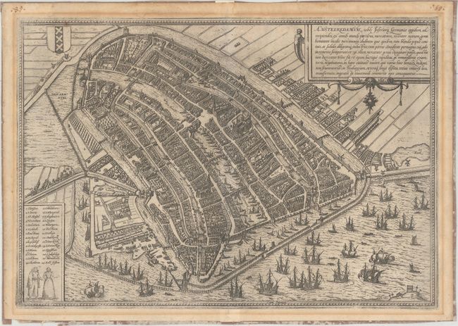
MapMaker: |
Braun & Hogenberg
|
|
| |
| |
Subject: |
Amsterdam, Netherlands |
|
| |
Period/Size: |
1572 / 13.4" x 19.3" (34.1 x 49.1 cm)
|
|
| |
Color: |
Black & White
|
|
| |
Condition: |
(B) There is light toning in the blank margins along the map border and a few faint damp stains in the top blank margin. The verso has paper tape along sheet edges. (condition help) |
|
| |
Source: |
Civitates Orbis Terrarum |
|
| |
References: |
Fussel, pp. 76-78; Goss (Cities) #2. |
|
| |
|
|
| Sales Information |
| |
| |
Price: |
|
|
| |
| |
Offered by: |
Old World Auctions |
|
| |
Catalog: |
Auction No. 160 - Antique Maps, Charts, Atlases & Globes (9325) |
|
| |
Lot/Item #: |
508 |
|
| |
| |
Date: |
11/2016
|
|
| |
| |
|