| Item Detail |
| |
| |
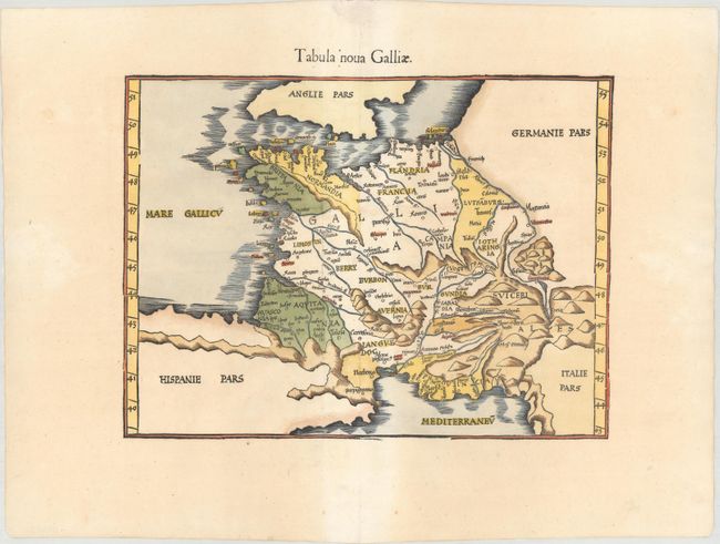
MapMaker: |
Ptolemy/Fries
|
|
| |
| |
Subject: |
France |
|
| |
Period/Size: |
1541 / 10.9" x 14.6" (27.7 x 37.1 cm)
|
|
| |
Color: |
Colored
|
|
| |
Condition: |
(B+) A crisp impression on paper with a bunch of grapes watermark, mild toning, a few tiny worm holes along the centerfold, and several minor creases. (condition help) |
|
| |
Source: |
Claudii Ptolemaei Alexandrini Geographicae… |
|
| |
References: |
Mickwitz & Miekkavaara #211-31. |
|
| |
|
|
| Sales Information |
| |
| |
Price: |
|
|
| |
| |
Offered by: |
Old World Auctions |
|
| |
Catalog: |
Auction No. 160 - Antique Maps, Charts, Atlases & Globes (9325) |
|
| |
Lot/Item #: |
513 |
|
| |
| |
Date: |
11/2016
|
|
| |
| |
|