Title:
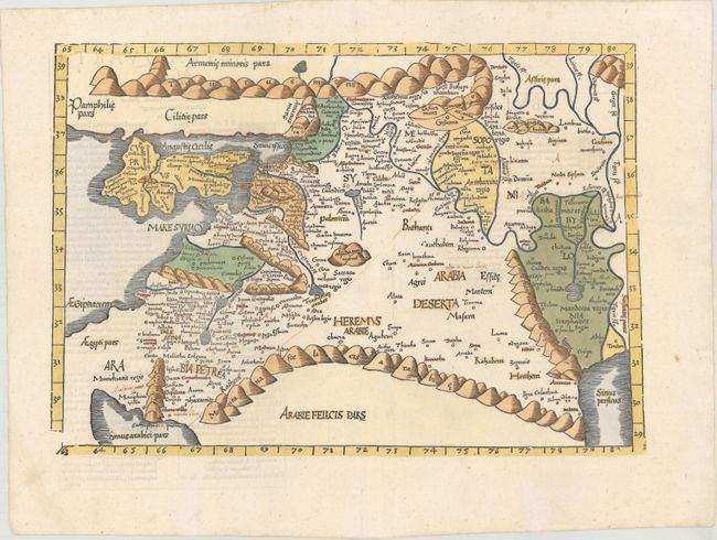
“Tabula Quarta Asiae Complectitur Cyprum Insulam, Syriam, Phoeniceam, Iudaeam Palaestinam, Arabiam Petream, Arabiam Desertam, Mesopotamiam & Babyloniam”
Map Maker:
Ptolemy/Fries
[Title on Verso] Woodblock map illustrating the P... (full text available to subscribers)
| Item Detail |
| |
| |
MapMaker: |
Ptolemy/Fries
|
|
| |
| |
Subject: |
Middle East |
|
| |
Period/Size: |
1541 / 12.4" x 17.8" (31.5 x 45.3 cm)
|
|
| |
Color: |
Colored
|
|
| |
Condition: |
(A) A crisp impression on a clean and bright sheet with a number of old manuscript notations and a few tiny worm tracks along the centerfold. There are two larger worm tracks in the bottom blank margin that have been professionally repaired. (condition help) |
|
| |
Source: |
Claudii Ptolemaei Alexandrini Geographicae… |
|
| |
References: |
Laor #613; Mickwitz & Miekkavaara #211-18; Zacharakis #1829. |
|
| |
|
|
| Sales Information |
| |
| |
Price: |
|
|
| |
| |
Offered by: |
Old World Auctions |
|
| |
Catalog: |
Auction No. 160 - Antique Maps, Charts, Atlases & Globes (9325) |
|
| |
Lot/Item #: |
645 |
|
| |
| |
Date: |
11/2016
|
|
| |
| |
|
Antique Maps - Valuation and Pricing, Descriptions, Resources |
|
Home |
Information |
Search |
Register |
Contact Us |
Site Map
Americana Exchange, Inc. © 1999 - 2024 Americana Exchange, Inc.. All rights reserved.
OldMaps.com, the OldMaps.com logo and
AMPR are service marks or registered service marks of Americana Exchange, Inc..
|