| Item Detail |
| |
| |
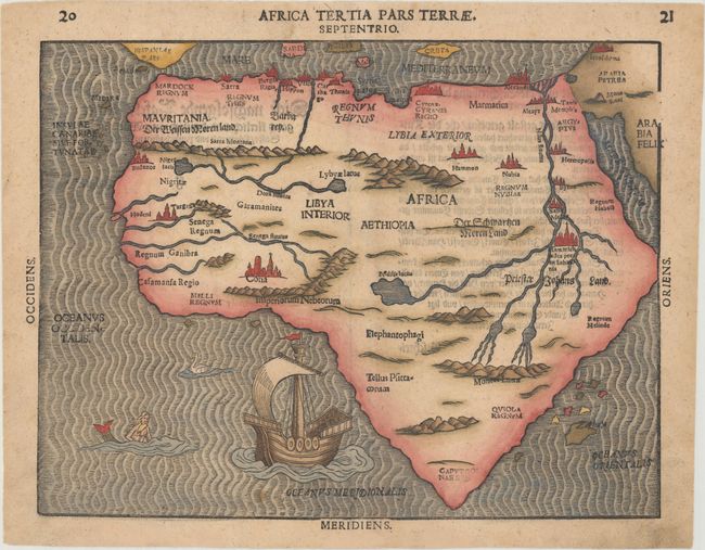
MapMaker: |
Heinrich Bunting
|
|
| |
| |
Subject: |
Africa |
|
| |
Period/Size: |
1600 / 10.1" x 13.3" (25.7 x 33.8 cm)
|
|
| |
Color: |
Colored
|
|
| |
Condition: |
(B+) Very light toning and soiling, with some show-through of text on verso, and a crease adjacent to centerfold that has been pressed flat and professionally reinforced on verso. There are additional professional repairs to a few minor chips and tears i (condition help) |
|
| |
Source: |
Itinerarium Sacrae Scripturae |
|
| |
References: |
Betz #24.3; Norwich #17; Tooley (MCC-29) #141. |
|
| |
|
|
| Sales Information |
| |
| |
Price: |
|
|
| |
| |
Offered by: |
Old World Auctions |
|
| |
Catalog: |
Auction No. 160 - Antique Maps, Charts, Atlases & Globes (9325) |
|
| |
Lot/Item #: |
738 |
|
| |
| |
Date: |
11/2016
|
|
| |
| |
|