| Item Detail |
| |
| |
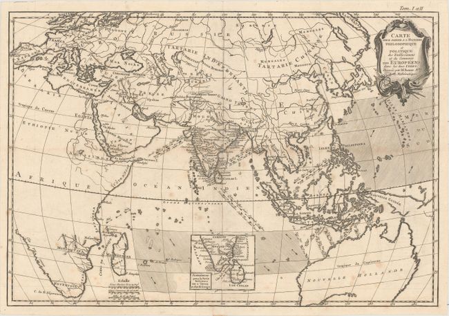
MapMaker: |
Rigobert Bonne
|
|
| |
| |
Subject: |
Eastern Hemisphere |
|
| |
Period/Size: |
1778 / 12.6" x 18.4" (32.0 x 46.8 cm)
|
|
| |
Color: |
Black & White
|
|
| |
Condition: |
(B+) A crisp impression, issued folding on paper with watermarks of a fleur-de-lis coat of arms and the initials "LOV." There is a small hole at a fold intersection and light, scattered foxing. (condition help) |
|
| |
Source: |
|
|
| |
References: |
|
|
| |
|
|
| Sales Information |
| |
| |
Price: |
|
|
| |
| |
Offered by: |
Old World Auctions |
|
| |
Catalog: |
Auction No. 161 - Antique Maps, Charts, Atlases & Globes (9343) |
|
| |
Lot/Item #: |
38 |
|
| |
| |
Date: |
02/2017
|
|
| |
| |
|