| Item Detail |
| |
| |
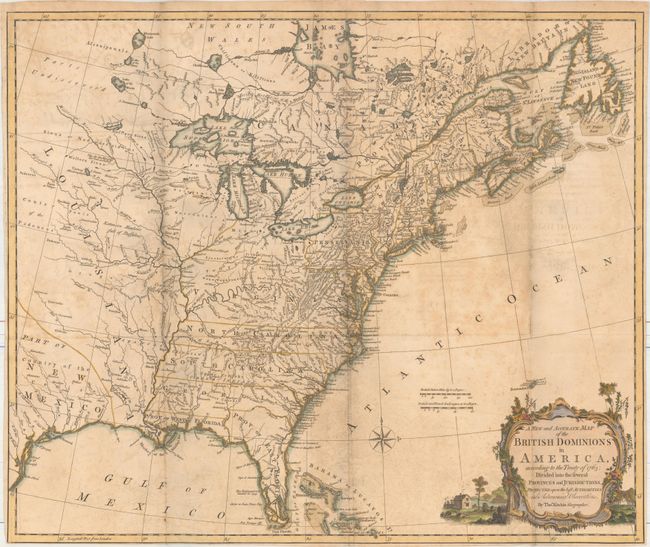
MapMaker: |
Thomas Kitchin
|
|
| |
| |
Subject: |
Colonial Eastern United States & Canada |
|
| |
Period/Size: |
1769 / 20.6" x 24.6" (52.4 x 62.5 cm)
|
|
| |
Color: |
Colored
|
|
| |
Condition: |
(B) A nice impression, issued folding, on watermarked paper with moderate scattered foxing, light offsetting, and a small paper flaw at left near the "s" of Osages. The bottom margin has been trimmed close to the neatline. (condition help) |
|
| |
Source: |
|
|
| |
References: |
McCorkle #766.1; Sellers & Van Ee #124; Stevens & Tree #7B. |
|
| |
|
|
| Sales Information |
| |
| |
Price: |
|
|
| |
| |
Offered by: |
Old World Auctions |
|
| |
Catalog: |
Auction No. 161 - Antique Maps, Charts, Atlases & Globes (9343) |
|
| |
Lot/Item #: |
137 |
|
| |
| |
Date: |
02/2017
|
|
| |
| |
|