| Item Detail |
| |
| |
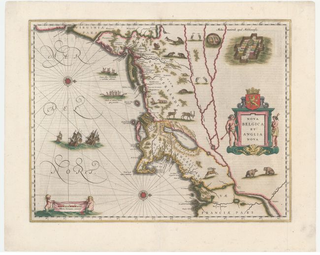
MapMaker: |
Willem Blaeu
|
|
| |
| |
Subject: |
Colonial New England & Mid-Atlantic |
|
| |
Period/Size: |
1642 / 15.3" x 19.9" (38.9 x 50.6 cm)
|
|
| |
Color: |
Colored
|
|
| |
Condition: |
(A) A dark impression with light printer's ink residue, minor marginal soiling, and professional repairs to short centerfold separations at top and bottom. Original outline color in the map that has been refreshed, with later color in the decorative elem (condition help) |
|
| |
Source: |
|
|
| |
References: |
Burden #241; Goss (Blaeu) p. 164; McCorkle #635.1; Van der Krogt (Vol. II) #9310:2. |
|
| |
|
|
| Sales Information |
| |
| |
Price: |
|
|
| |
| |
Offered by: |
Old World Auctions |
|
| |
Catalog: |
Auction No. 161 - Antique Maps, Charts, Atlases & Globes (9343) |
|
| |
Lot/Item #: |
175 |
|
| |
| |
Date: |
02/2017
|
|
| |
| |
|