| Item Detail |
| |
| |
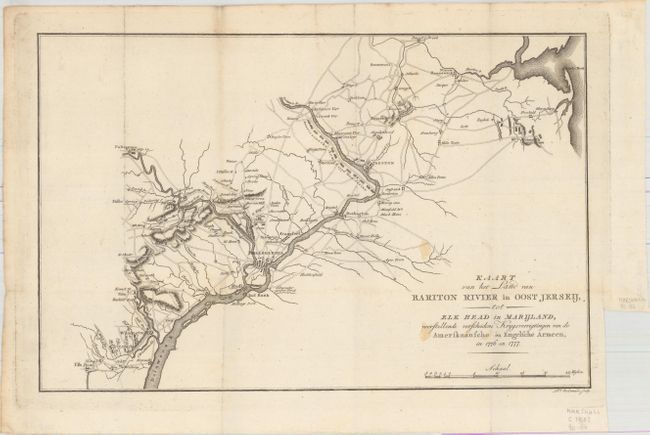
MapMaker: |
John Marshall
|
|
| |
| |
Subject: |
Mid-Atlantic United States |
|
| |
Period/Size: |
1805 / 9.8" x 15.0" (24.9 x 38.1 cm)
|
|
| |
Color: |
Black & White
|
|
| |
Condition: |
(B+) A nice impression issued folding on paper with a "D&C Blauw" watermark, a few small light stains, a touch of foxing along a fold at left, and a binding trim at bottom right with a tiny binding tear. (condition help) |
|
| |
Source: |
Het Leven van George Washington… |
|
| |
References: |
|
|
| |
|
|
| Sales Information |
| |
| |
Price: |
|
|
| |
| |
Offered by: |
Old World Auctions |
|
| |
Catalog: |
Auction No. 161 - Antique Maps, Charts, Atlases & Globes (9343) |
|
| |
Lot/Item #: |
193 |
|
| |
| |
Date: |
02/2017
|
|
| |
| |
|