| Item Detail |
| |
| |
MapMaker: |
U.S. Government
|
|
| |
| |
Subject: |
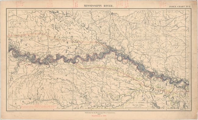
Central United States, Mississippi River |
|
| |
Period/Size: |
1906 / 15.5" x 26.5" (39.4 x 67.4 cm)
|
|
| |
Color: |
Colored
|
|
| |
Condition: |
(C+) A working example that was previously rolled with overall light toning, numerous manuscript notations throughout, and a small puncture tear throughout near the middle of the map image. There is a large chip out of the right corner of sheet 1 (Cairo) (condition help) |
|
| |
Source: |
|
|
| |
References: |
Phillips (Maps) p. 442. |
|
| |
|
|
| Sales Information |
| |
| |
Price: |
|
|
| |
| |
Offered by: |
Old World Auctions |
|
| |
Catalog: |
Auction No. 161 - Antique Maps, Charts, Atlases & Globes (9343) |
|
| |
Lot/Item #: |
240 |
|
| |
| |
Date: |
02/2017
|
|
| |
| |
|