Title:
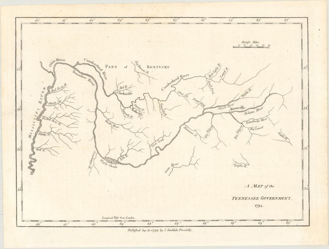
“A Map of the Tennessee Government”
Map Maker:
Jedidiah Morse
This map was published in 1794 in the London (Stoc... (full text available to subscribers)
| Item Detail |
| |
| |
MapMaker: |
Jedidiah Morse
|
|
| |
| |
Subject: |
Tennessee |
|
| |
Period/Size: |
1794 / 6.6" x 9.2" (16.8 x 23.4 cm)
|
|
| |
Color: |
Black & White
|
|
| |
Condition: |
(A+) A clean and bright example on paper watermarked "RD 94" with one faint crease. (condition help) |
|
| |
Source: |
The American Geography |
|
| |
References: |
Howes #M840; McCorkle (18th C. Geography Books) #302 [20]; Sabin #50924. |
|
| |
|
|
| Sales Information |
| |
| |
Price: |
|
|
| |
| |
Offered by: |
Old World Auctions |
|
| |
Catalog: |
Auction No. 161 - Antique Maps, Charts, Atlases & Globes (9343) |
|
| |
Lot/Item #: |
358 |
|
| |
| |
Date: |
02/2017
|
|
| |
| |
|
Antique Maps - Valuation and Pricing, Descriptions, Resources |
|
Home |
Information |
Search |
Register |
Contact Us |
Site Map
Americana Exchange, Inc. © 1999 - 2024 Americana Exchange, Inc.. All rights reserved.
OldMaps.com, the OldMaps.com logo and
AMPR are service marks or registered service marks of Americana Exchange, Inc..
|