Title:
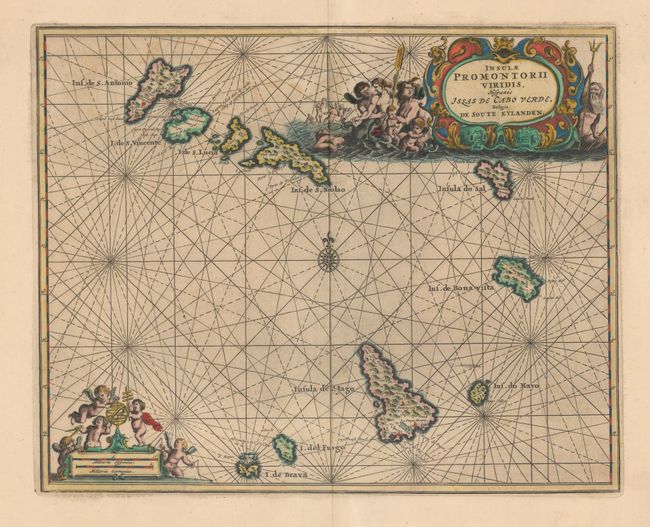
“Insulae Promontorii Viridis, Hispanis Issas de Cabo Verde, Belgis de Soute Eylanden”
Map Maker:
John Ogilby
A beautiful small sea chart of the important Cape ... (full text available to subscribers)
| Item Detail |
| |
| |
MapMaker: |
John Ogilby
|
|
| |
| |
Subject: |
Cape Verde Islands |
|
| |
Period/Size: |
1670 / 9.8" x 12.3" (24.9 x 31.3 cm)
|
|
| |
Color: |
Colored
|
|
| |
Condition: |
(A) A dark impression on paper with very wide margins and light printer's ink residue. (condition help) |
|
| |
Source: |
Africa: Being an Accurate Description... |
|
| |
References: |
Shirley (BL Atlases) T.OGIL-1a #34. |
|
| |
|
|
| Sales Information |
| |
| |
Price: |
|
|
| |
| |
Offered by: |
Old World Auctions |
|
| |
Catalog: |
Auction No. 161 - Antique Maps, Charts, Atlases & Globes (9343) |
|
| |
Lot/Item #: |
475 |
|
| |
| |
Date: |
02/2017
|
|
| |
| |
|
Antique Maps - Valuation and Pricing, Descriptions, Resources |
|
Home |
Information |
Search |
Register |
Contact Us |
Site Map
Americana Exchange, Inc. © 1999 - 2024 Americana Exchange, Inc.. All rights reserved.
OldMaps.com, the OldMaps.com logo and
AMPR are service marks or registered service marks of Americana Exchange, Inc..
|