| Item Detail |
| |
| |
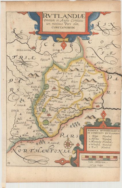
MapMaker: |
Saxton/Camden
|
|
| |
| |
Subject: |
Central England |
|
| |
Period/Size: |
1637 / 11.3" x 8.4" (28.7 x 21.4 cm)
|
|
| |
Color: |
Colored
|
|
| |
Condition: |
(B) A crisp impression on paper with a large coat of arms watermark, light printer's ink residue and minor soiling. Trimmed to the neatline at right by the book binder, with partial loss of neatline. This map is typically found with little to no side ma (condition help) |
|
| |
Source: |
Camden's Britannia |
|
| |
References: |
Shirley (BL Atlases) T.CAMD-1e. |
|
| |
|
|
| Sales Information |
| |
| |
Price: |
|
|
| |
| |
Offered by: |
Old World Auctions |
|
| |
Catalog: |
Auction No. 161 - Antique Maps, Charts, Atlases & Globes (9343) |
|
| |
Lot/Item #: |
501 |
|
| |
| |
Date: |
02/2017
|
|
| |
| |
|