Title:
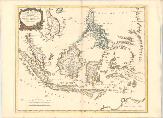
“Archipel des Indes Orientales, qui Comprend les Isles de la Sonde, Moluques et Philippines...”
Map Maker:
Robert de Vaugondy/Santini
A detailed depiction of the region centered on Bor... (full text available to subscribers)
| Item Detail |
| |
| |
MapMaker: |
Robert de Vaugondy/Santini
|
|
| |
| |
Subject: |
East Indies - Indonesia |
|
| |
Period/Size: |
1778 / 19.1" x 23.3" (48.6 x 59.2 cm)
|
|
| |
Color: |
Colored
|
|
| |
Condition: |
(B+) Light toning along the centerfold, printed on sturdy paper with an "R" watermark. There is some extraneous creasing along the edges of the sheet at right and left, far from image. (condition help) |
|
| |
Source: |
Atlas Universel |
|
| |
References: |
|
|
| |
|
|
| Sales Information |
| |
| |
Price: |
|
|
| |
| |
Offered by: |
Old World Auctions |
|
| |
Catalog: |
Auction No. 161 - Antique Maps, Charts, Atlases & Globes (9343) |
|
| |
Lot/Item #: |
699 |
|
| |
| |
Date: |
02/2017
|
|
| |
| |
|
Antique Maps - Valuation and Pricing, Descriptions, Resources |
|
Home |
Information |
Search |
Register |
Contact Us |
Site Map
Americana Exchange, Inc. © 1999 - 2024 Americana Exchange, Inc.. All rights reserved.
OldMaps.com, the OldMaps.com logo and
AMPR are service marks or registered service marks of Americana Exchange, Inc..
|