| Item Detail |
| |
| |
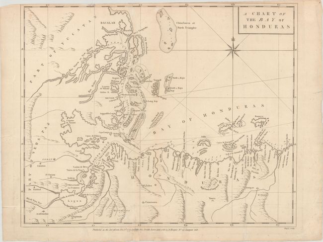
MapMaker: |
Joseph Smith Speer
|
|
| |
| |
Subject: |
Honduras, Belize & Guatemala |
|
| |
Period/Size: |
1771 / 15.8" x 19.4" (40.2 x 49.3 cm)
|
|
| |
Color: |
Black & White
|
|
| |
Condition: |
(B+) Issued folding, now flattened on paper watermarked "EVH" with light soiling, several extraneous creases, and archival repairs to a few tiny tears and short fold separations. The top margin is trimmed with loss of about half of the neatline at top. (condition help) |
|
| |
Source: |
The West-India Pilot |
|
| |
References: |
Kapp (MCC-106) #56; Phillips (Atlases) #2698-8; Sellers & Van Ee #2130; cf. Shirley (BL Atlases) M.S |
|
| |
|
|
| Sales Information |
| |
| |
Price: |
|
|
| |
| |
Offered by: |
Old World Auctions |
|
| |
Catalog: |
Auction No. 161 - Antique Maps, Charts, Atlases & Globes (9343) |
|
| |
Lot/Item #: |
414 |
|
| |
| |
Date: |
02/2017
|
|
| |
| |
|