| Item Detail |
| |
| |
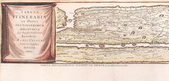
MapMaker: |
Jan Jansson
|
|
| |
| |
Subject: |
Ancient World |
|
| |
Period/Size: |
1622 / 7.3" x 159.6" (18.6 x 405.4 cm)
|
|
| |
Color: |
Colored
|
|
| |
Condition: |
(A) A crisp impression issued folding, and now rolling, with very minor toning to a few folds and a couple of small worm holes. There are professional repairs to several short fold separations, and a few additional fold separations confined to the blank (condition help) |
|
| |
Source: |
Histoire des Grands Chemins de l'Empire Romain |
|
| |
References: |
Shirley #393. |
|
| |
|
|
| Sales Information |
| |
| |
Price: |
|
|
| |
| |
Offered by: |
Old World Auctions |
|
| |
Catalog: |
Auction No. 162 - Antique Maps, Charts, Atlases & Globes (9354) |
|
| |
Lot/Item #: |
38 |
|
| |
| |
Date: |
04/2017
|
|
| |
| |
|