| Item Detail |
| |
| |
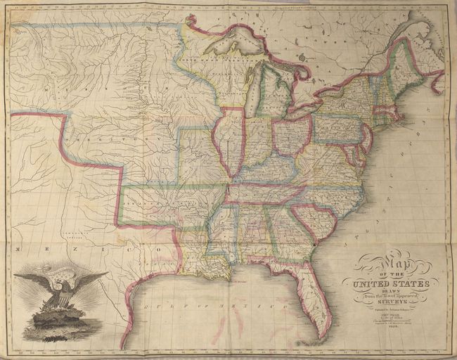
MapMaker: |
Solomon Schoyer
|
|
| |
| |
Subject: |
Eastern United States |
|
| |
Period/Size: |
1826 / 16.3" x 20.8" (41.4 x 52.9 cm)
|
|
| |
Color: |
Colored
|
|
| |
Condition: |
(B) Issued folding with light color offsetting, a few spots of foxing, and a chip in the top left corner of the map that has been repaired on verso with old paper. There are two fold separations at the center of the map where it was adhered to the covers (condition help) |
|
| |
Source: |
|
|
| |
References: |
Graff #3706; Rumsey #2201. |
|
| |
|
|
| Sales Information |
| |
| |
Price: |
|
|
| |
| |
Offered by: |
Old World Auctions |
|
| |
Catalog: |
Auction No. 162 - Antique Maps, Charts, Atlases & Globes (9354) |
|
| |
Lot/Item #: |
154 |
|
| |
| |
Date: |
04/2017
|
|
| |
| |
|