| Item Detail |
| |
| |
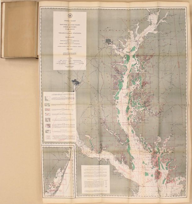
MapMaker: |
U.S. Coast & Geodetic Survey
|
|
| |
| |
Subject: |
Exploration & Surveys, Maryland |
|
| |
Period/Size: |
1912-13 / 12.0" x 8.0" (30.5 x 20.4 cm)
|
|
| |
Color: |
Colored
|
|
| |
Condition: |
(B+) The two large folding maps are very good with light toning, and the smaller maps interspersed within the text are clean, bright, and near fine. Text is lightly toned throughout. The exterior has typical shelfwear along with soiling. Both volumes a (condition help) |
|
| |
Source: |
|
|
| |
References: |
|
|
| |
|
|
| Sales Information |
| |
| |
Price: |
|
|
| |
| |
Offered by: |
Old World Auctions |
|
| |
Catalog: |
Auction No. 162 - Antique Maps, Charts, Atlases & Globes (9354) |
|
| |
Lot/Item #: |
258 |
|
| |
| |
Date: |
04/2017
|
|
| |
| |
|